
Braithwaite.life

Postcards of Braithwaite - past and present

© braithwaite.life 2023
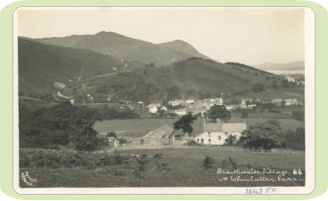
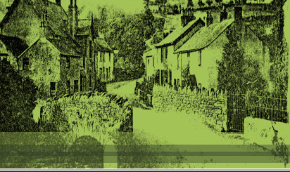
Braithwaite Village & Whinlatter Pass
Location Behind Braithwaite Lodge
Date
TBC
Publisher Pettitt Keswick
Whinlatter Pass can be seen in the top left. Whinlatter Pass (B5292) links Braithwaite to High Lorton near Cockermouth. Whinlatter Pass reaches an elevation of 337m (1,105ft) and is 6.1 miles (9.81km) long. Bassenthwaite Lake, seen on the top right, is the 4th largest lake in the Lake District National Park, at approximately 4 miles long and ¾ mile wide, however it is also one of the shallowest, at approximately 65ft (20m) deep, owned by the National Park Authority. Bassenthwaite Lake is also the only body of water to use ‘lake’ in it’s name within the Lake District National Park.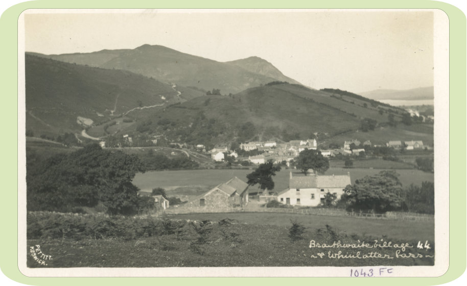



































Braithwaite.life

Postcards of Braithwaite - past and present

© braithwaite.life 2024
Braithwaite Village & Whinlatter Pass
Location Behind Braithwaite Lodge
Date
TBC
Publisher Pettitt Keswick
Whinlatter Pass can be seen in the top left. Whinlatter Pass (B5292) links Braithwaite to High Lorton near Cockermouth. Whinlatter Pass reaches an elevation of 337m (1,105ft) and is 6.1 miles (9.81km) long. Bassenthwaite Lake, seen on the top right, is the 4th largest lake in the Lake District National Park, at approximately 4 miles long and ¾ mile wide, however it is also one of the shallowest, at approximately 65ft (20m) deep, owned by the National Park Authority. Bassenthwaite Lake is also the only body of water to use ‘lake’ in it’s name within the Lake District National Park.